

Services
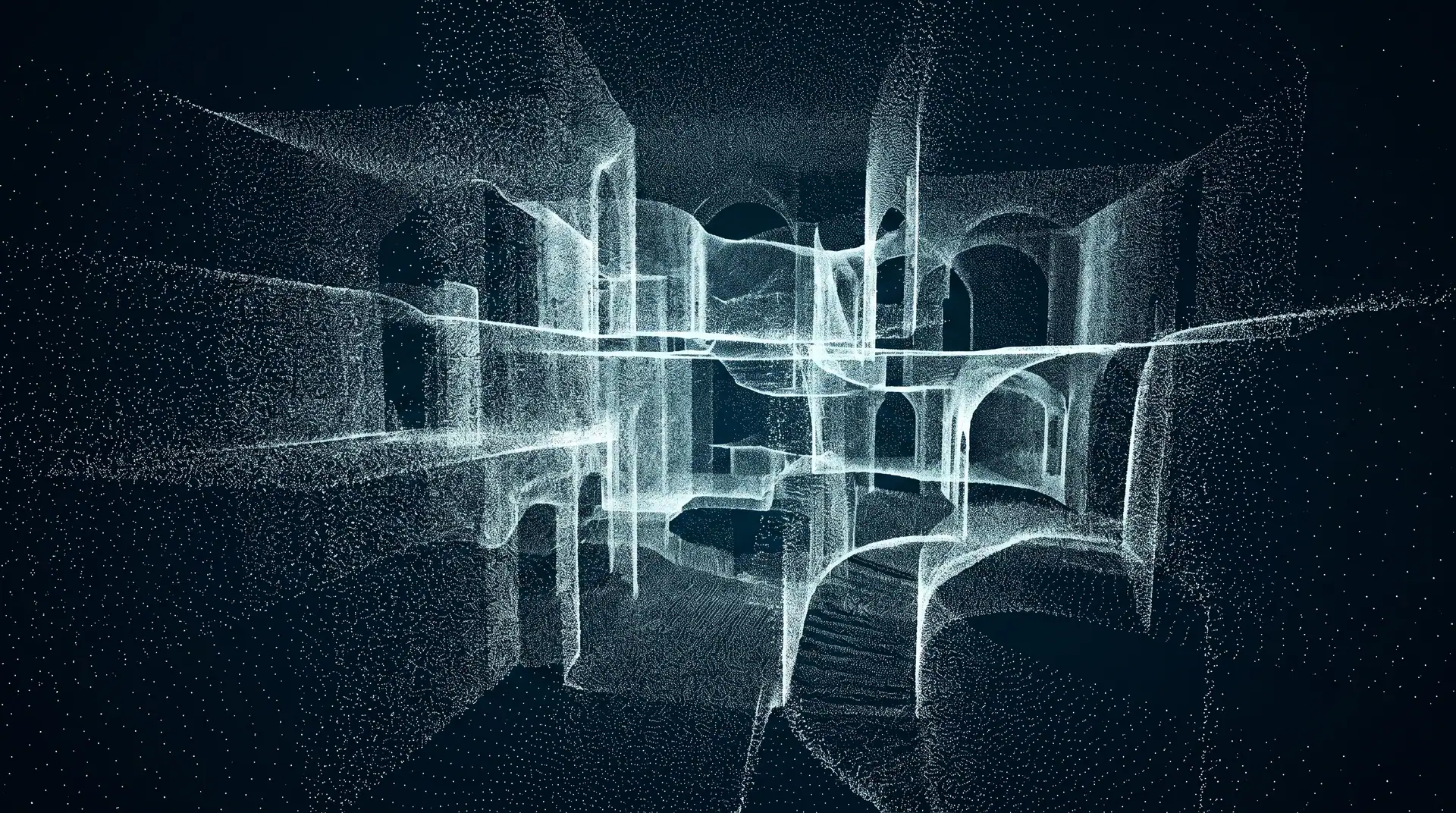
3D laser scanning and SLAM
Two complementary instruments: the tripod-mounted Trimble SX10 sets the millimetre reference, the wearable NavVis VLX 2 covers the volume on the move. The second is registered to the first.
What you receive
- Georeferenced, colourised point cloud
- Plans, sections and elevations extracted from the cloud
- BIM-ready 3D model
- Immersive walkthrough from panoramic imagery
When it applies
- Façade and heritage building surveys
- Complex interiors and large volumes
- Refurbishment and extension of existing structures
- Compliance checks on completed works
A project that calls for this?
Tell us the extent and the deadline. We come back with a method and a timeline.