

Services
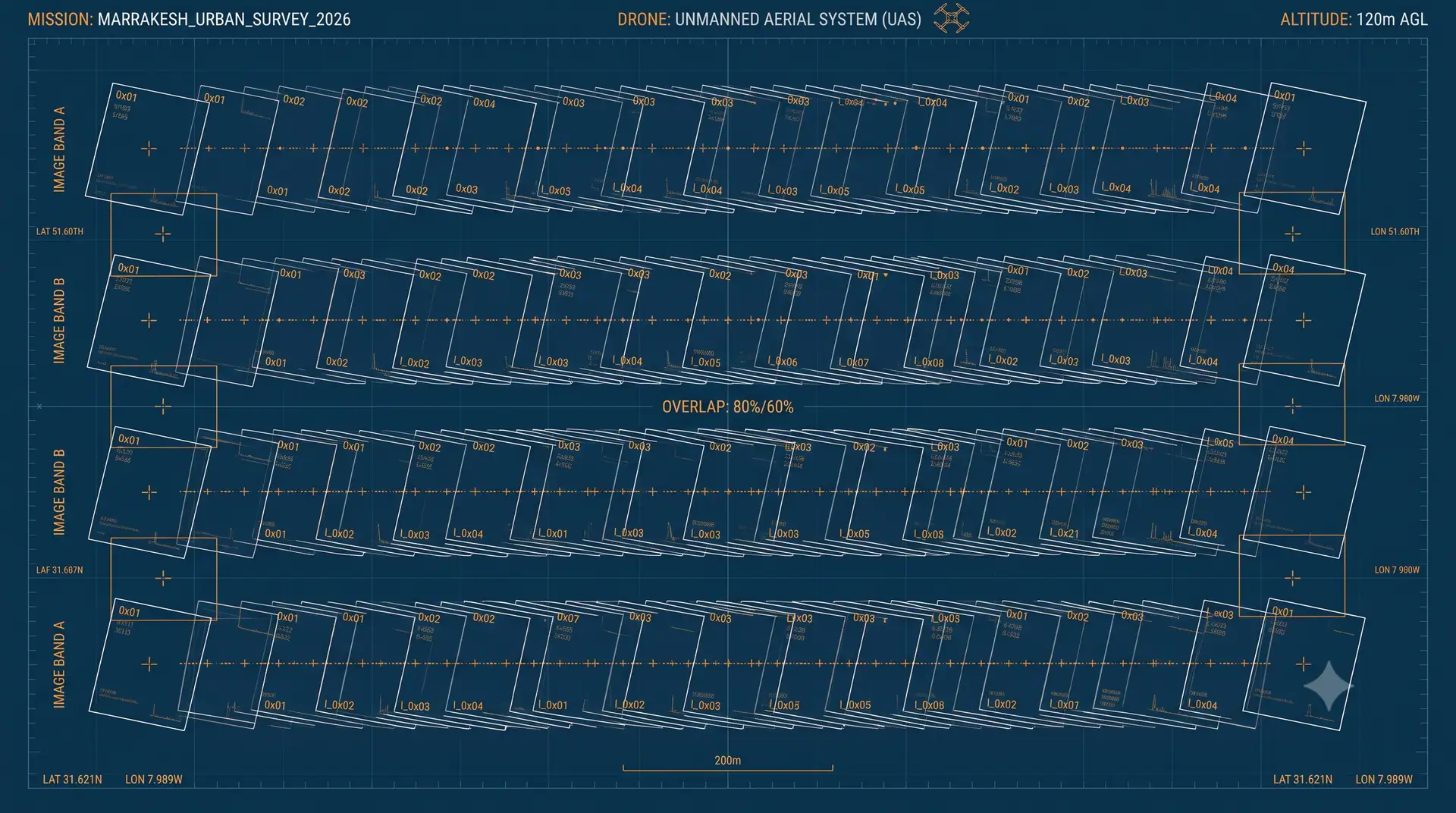
Drone photogrammetry
Two aircraft depending on the extent: the fixed-wing eBee X for large areas, the Phantom 4 RTK multirotor for constrained sites and close-range detail. Both are adjusted onto ground control points surveyed on site.
What you receive
- High-resolution georeferenced orthophoto
- Digital surface and terrain models
- Point cloud and 3D mesh
- Dated progress records for construction monitoring
When it applies
- Mapping large land holdings
- Monthly construction progress tracking
- Inspection of hard-to-reach structures
- Stockpile and excavation volume calculations
A project that calls for this?
Tell us the extent and the deadline. We come back with a method and a timeline.