

Services
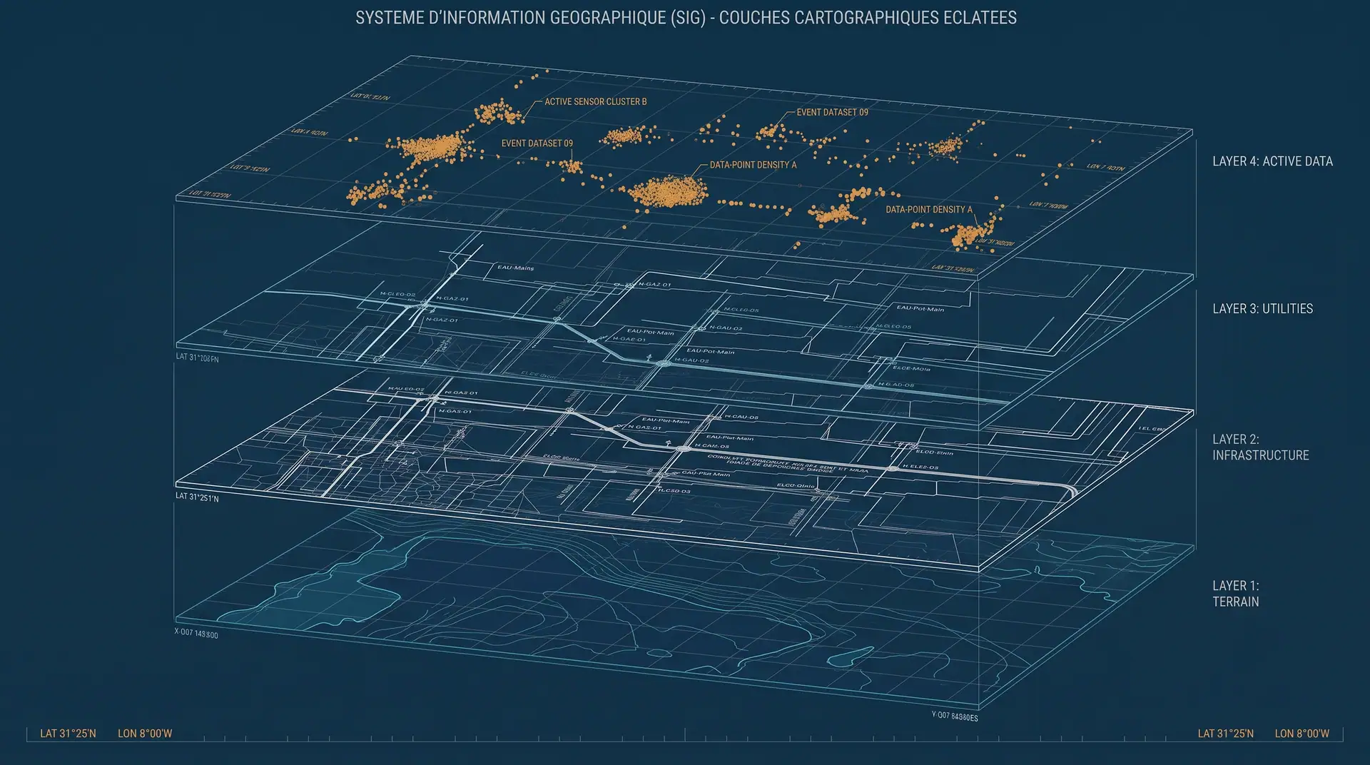
GIS and web mapping
A survey often ends up in a drawer. Structured into a geographic database and published through a web interface, it becomes a tool your teams open every day.
What you receive
- Structured geographic database
- Online map interface
- Integration of surveys, drawings and orthophotos
- Export to your own tools — GIS, CAD, BIM
When it applies
- Managing a large land portfolio
- Utility network tracking: water, drainage, electricity
- Shared access across several stakeholders
- Making use of an existing body of survey data
A project that calls for this?
Tell us the extent and the deadline. We come back with a method and a timeline.